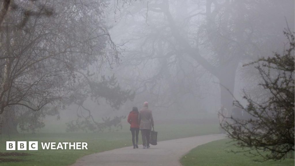
Thick fog is forecast for parts of the UK this week, creating dangerous conditions for motorists, particularly around the morning commute.
Wednesday will be a day of some sunny spells and showers but as winds turn lighter into Thursday, extensive fog is expected to form.
The fog will lead to difficult driving conditions through the Thursday morning rush hour.
While rain is also in the forecast for the end of this week, as high pressure builds into November, more mist and fog will form next week.
After the recent stormy weather across the United Kingdom, things will turn calmer in the coming days.
The stormy spell of weather was caused by a very active jet stream – the fast moving wind high in the atmosphere – sending deep areas of low pressure toward the UK.
This is now going to weaken and instead of bringing low pressure systems, high pressure will start to develop.
High pressure brings more settled weather with lighter winds. In late autumn, it also brings the risk of mist, fog, low cloud, chillier days and frosty nights.
Wednesday will start off chillier compared to recent mornings and while dry for most, there will be lots of cloud and showery rain mainly across southern Scotland, northern England and north Wales.
This area of rain will move further south-east across Wales and into the Midlands during the morning before fading away.
The afternoon will then be largely dry with sunny spells across most areas of the UK with temperatures slightly above average at 12 to 16C.
Dangerous driving conditions
During the night into Thursday, winds will lighten and mist and fog will develop, particularly in east Wales, central and southern England.
This could be dense in places and lead to some tricky driving conditions for the Thursday morning commute.
The fog may even linger in some parts until lunchtime.
By Friday and Saturday, some rain is likely across Scotland, Northern Ireland and northern areas of England and Wales.
But mist and fog may once again form across eastern and southern England.
Calmer weather likely to continue
High pressure will become more widely established over the weekend and into next week.
With light winds, more mist and fog is likely to form during the overnight periods and linger through the mornings.
In some places, the mist, fog and low cloud may not clear at all and make it feel quite chilly.
Much needed rain will also be in short supply.
Despite October giving the drought and severe drought areas of England and Wales around the average amount of October rainfall, some reservoirs are still exceptionally low.
This more settled weather pattern currently looks like it might continue for much of the first week of November.
Beyond that, you can read our latest monthly outlook.
More coverage

Discussion